
Rush River Watershed is a rural watershed that drains 257,770 acres (403 square miles) in Sibley, Nicollet and McLeod Counties. The Rush River watershed is a sub watershed of the Lower Minnesota River Watershed, which is located in the Minnesota River Basin. The Rush River Watershed is the largest of the Lower Minnesota River sub watersheds, comprising 22% of the total land area. The Rush River Watershed is significant in that it is one of the few rural sub watersheds in the Lower Minnesota River Watershed.
History
Rush River got its name from the rush plants that used to grow along its banks. Prior to European settlement, the primary land cover was grassland, deciduous forest and wetlands. Today, agriculture is the primary land use in the watershed. Over 90% of the watershed acreage is utilized for agriculture, with corn and soybeans as the two primary crops grown. Approximately 9% of the agricultural land is planted with hay or small grains. Lakes, streams, and wetlands account for only 1.2% (3,002 acres) of the watershed area. This is only a fraction of the open water that existed before extensive artificial drainage that has occurred over the past 150 years.
Landscape
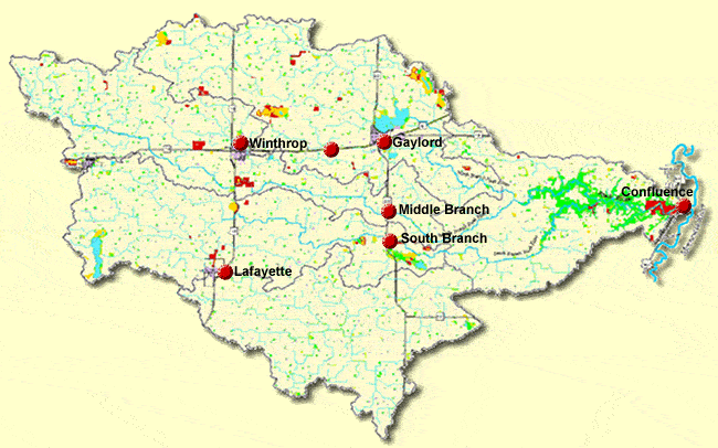
Three branches of the Rush River drain to the main stem, the North, Middle and South branches. The stream length of the main stem Rush is 20 miles. The stream length of the North, Middle and South branches of the Rush River are 11.3, 30.1 and 32.6 miles respectively.
The topography in the watershed is generally flat. Approximately two-thirds of the watershed is flat to gently rolling with deep ravines along the eastern portion of the watershed.
The population of the Rush River Watershed is estimated at approximately 8,500. Four towns are located in the watershed: Gaylord, Winthrop, and Gibbon in Sibley County and Lafayette in Nicollet County. There are twelve lakes, the two largest and most utilized are Clear Lake and Lake Titloe. There is one large state park in the watershed, Rush River Park, which uses include camping, picnicking, horseback riding, hiking, etc.